Thank you for your interest in this story
To continue reading this article, subscribe to the Stray Ferret for as little as £1 a week
Already a subscriber? Log in here.
15
Nov
Snow warning issued for Harrogate district
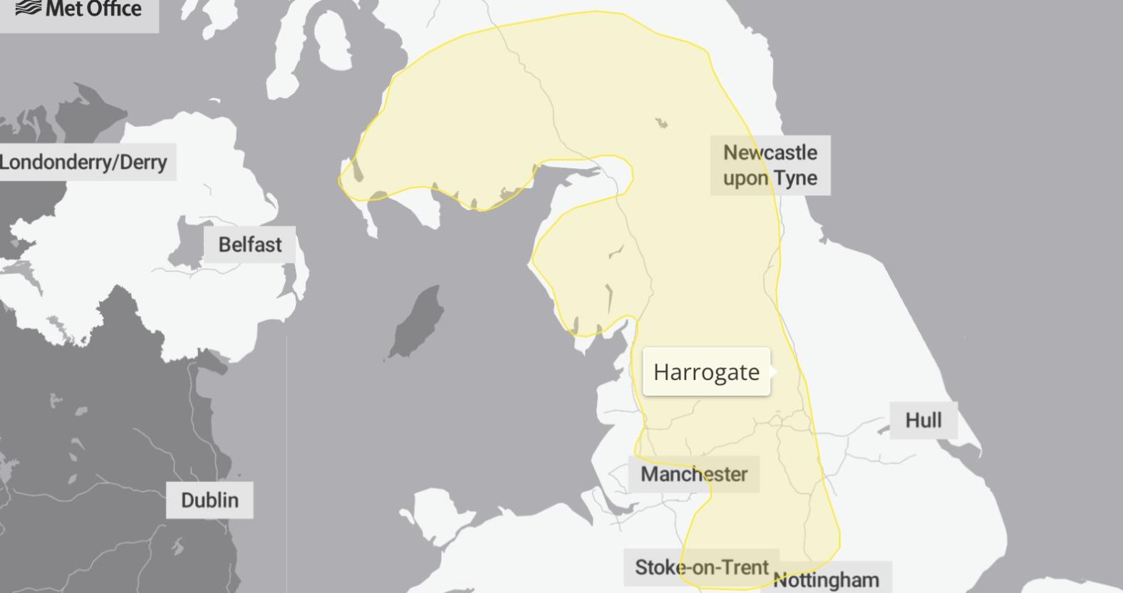
The Met Office has issued a weather warning for snow on Tuesday (November 17) in the Harrogate district.
The yellow warning is in place for 12 hours from the start of the day until midday.
It says:
A band of rain is expected to head northwards across the UK through Monday night and Tuesday morning. As it encounters colder air across the highlighted region, it is likely to turn to snow for a time, mainly affecting locations at 100 m altitude or higher. Any snow falling below this level will more likely be temporary and quickly melt.
Where snow does accumulate, depths of 1-5 cm are likely; some locations above 300-400 m could see 5-15 cm. This may cause travel disruption on higher level routes, particularly in combination with a strong easterly wind which could also cause some localised drifting. Some accretion of ice onto infrastructure such as power lines is also a possibility. Snow will gradually turn back to rain both from the south and through the morning on Tuesday.
Temperatures are not expected to rise above seven degrees for the entire week.
However, snow is only forecast on Tuesday, and no sharp frosts are predicted.

0