Subscribe to trusted local news
In a time of both misinformation and too much information, quality journalism is more crucial than ever. By subscribing, you can help us get the story right.
- Subscription costs less than £1 a week with an annual plan.
Already a subscriber? Log in here.
16
Nov 2023
Flood alerts active on Ure and Nidd as Boroughbridge bears brunt

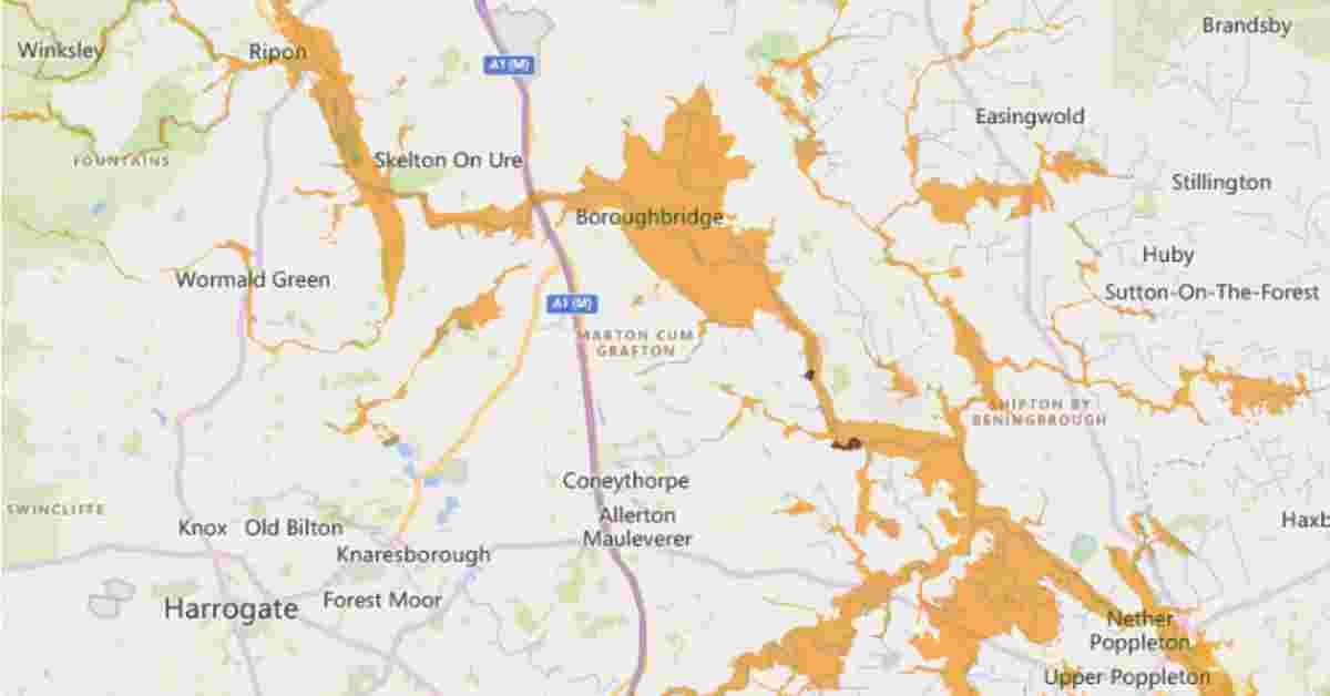
Flooding is expected in low-lying areas alongside the River Ure near Boroughbridge, the Environment Agency said this morning.
Two flood alerts and one flood warning are active in the Harrogate district, which is at greater risk of flooding than almost anywhere else in northern England and the Midlands.
The more severe flood warning is from Aldwark Bridge to Cuddy Shaw on the Ure, just south of Boroughbridge.
An Environment Agency update for this area at 7.04am today said:
Environment Agency advice on what to do is available here.
Two people had to be rescued from a vehicle trapped in flood water in Boroughbridge yesterday. The previous night, firefighters pumped two-feet of standing water from a home in the town.
Less severe flood alerts are active for the lower Nidd catchment and the lower Ure.
The flood alert area for the Nidd includes land around the lower Nidd and its tributaries including Sand Beck, Sike Beck, Pool Beck and Great Gutter.
For the lower Ure, the area at risk is low-lying land including agricultural land and local roads in the areas around Masham, Boroughbridge, Aldborough and Bishop Monkton.
Brighter is weather is expected this afternoon and tomorrow before further outbreaks of rain this weekend.
Read more:
- Mercedes driver fined for clocking 151mph on A1 at Boroughbridge
- Two people rescued from car stuck in flood in Boroughbridge
0