15
Jan 2025
Flood alerts called as melting snow swells rivers

This article is free to read. Help support independent local journalism at the Stray Ferret by subscribing for as little as 14p per day. You can do it here.
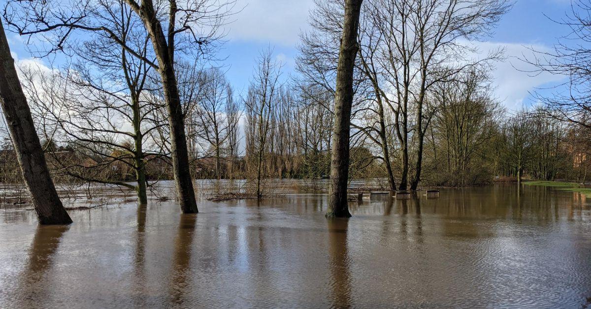
Rivers swollen by melting snow have prompted the Environment Agency to announce flood alerts for the Lower Nidd and Lower Ure areas.
A flood alert is the lowest level of flood warning and means that flooding is possible, so businesses and residents should prepare for it immediately.

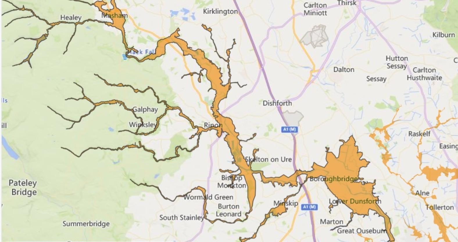
The areas affected by the flood alert for the Lower River Ure.
The alert for the Lower Ure says that river levels have peaked but may remain high as snow continues to melt throughout the day. It warns:
Flooding could still affect locations near the River Skell and River Ure, with low-lying land and roads expected to be most affected, particularly around low-lying land including agricultural land and local roads in the areas around Masham, Boroughbridge, Aldborough and Bishop Monkton.

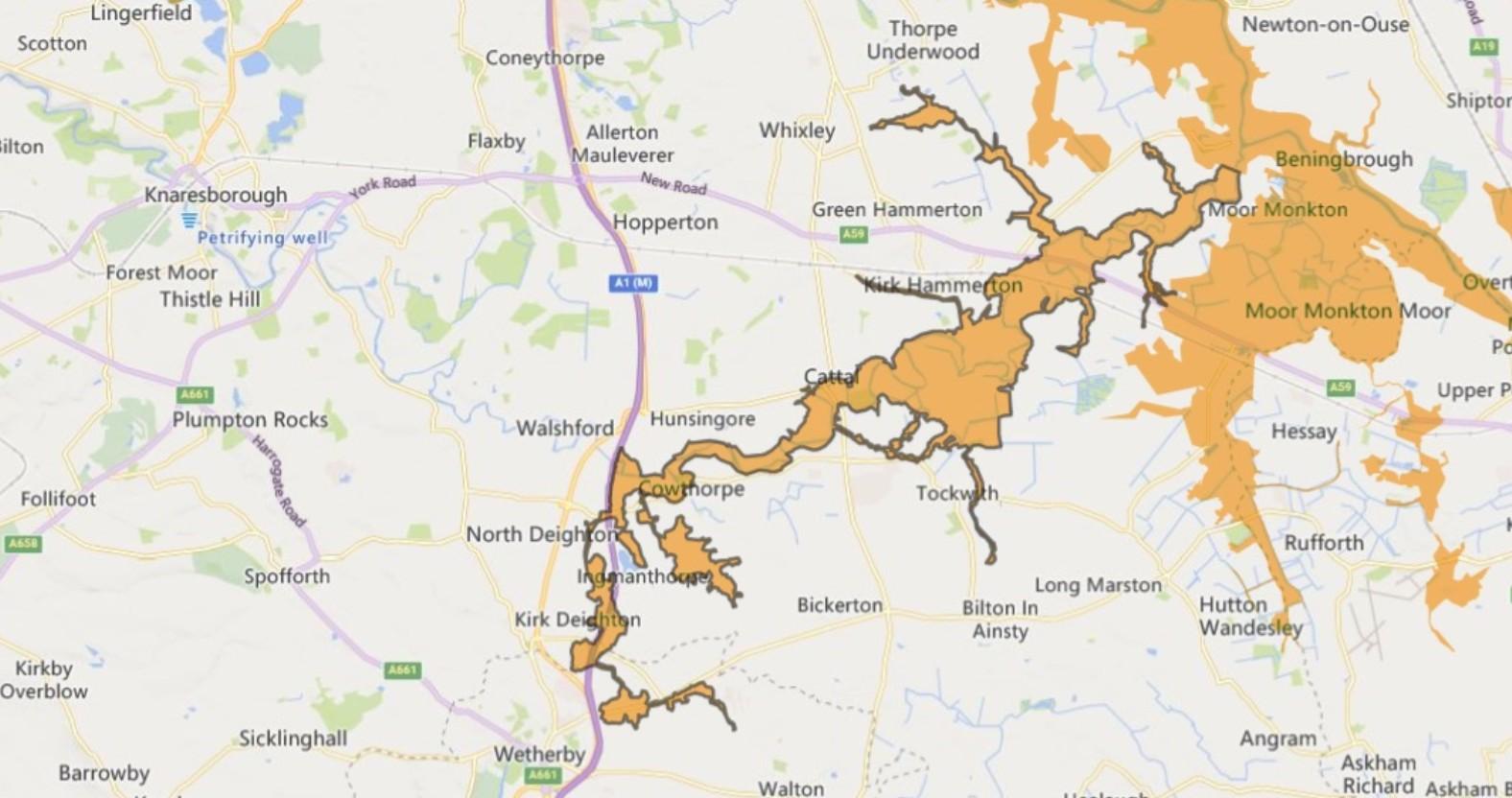
The areas affected by the flood alert for the Lower River Nidd.
The alert for the Lower Nidd says that river levels are falling, but remain high in the Skip Bridge area, near Kirk Hammerton, Moor Monkton and Nun Monkton, where water from the Nidd is joining high levels on the River Ouse.
The agency advises people to avoid using low-lying footpaths and bridges near rivers.
0