Subscribe to trusted local news
In a time of both misinformation and too much information, quality journalism is more crucial than ever. By subscribing, you can help us get the story right.
- Subscription costs less than £1 a week with an annual plan.
Already a subscriber? Log in here.
24
Dec
7 post-Christmas walks in and around the Harrogate district

Some call it Twixmas, while others dub it the ‘post-Christmas slump’. Whatever your particular moniker, it’s something of a universal experience.
You’ve indulged over the festive period – as you well should – but now you’re looking for something to break up all the eating, drinking and general merriment.
So dig out your walking boots, wrap up warm and enjoy one of the Stray Ferret’s suggestions for post-Christmas walking routes.
And there’s nothing to say you can’t curl up with a hot drink and a mince pie afterwards either.
Eccup Reservior (and The New Inn)
Distance: Five miles, taking around 2+ hours.
Start: The New Inn, Eccup Lane, Alwoodley, Leeds, LS16 8AU.
Parking: The New Inn car park or on-street parking.

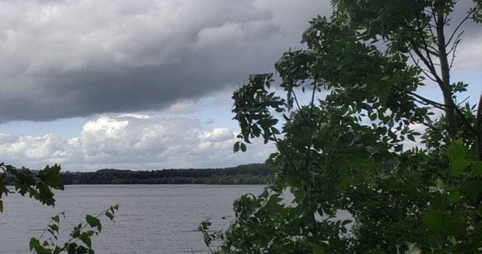
Eccup Reservoir
Summary: Located between Harrogate and Leeds, near the village of Alwoodley, Eccup Reservoir is a Site of Special Scientific Interest (SSSI) and offers a slice of nature on the outskirts of the city.
It’s an easy to follow route around the perimeter of the reservoir, over a dam and alongside a golf course. If you’d like to start – or finish – with a drink and a bite to eat, walks can be picked up from The New Inn.
Be warned though – the trail can get muddy in places, so a good pair of walking boots or some wellies are recommended.
The Seven Bridges Valley Walk, Fountains Abbey and Studley Royal
Distance: 3.8 miles, between 1.30-2 hours.
Start: Fountains Abbey visitor centre, Ripon, HG4 3DY.
Parking: Fountains Abbey main car park.

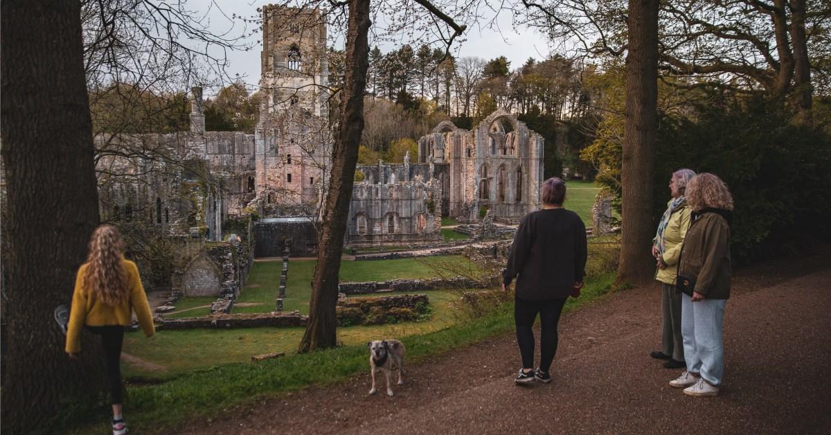
Fountains Abbey
Summary: Fountains Abbey is spectacular all year round, but there's something about a cold, crisp walk around the extensive grounds that can't be beaten.
A classic route, the Seven Bridges Valley Walk takes in a rustic and less trodden path from the usual garden loop. Starting at the visitor centre, the route follows the River Skell along the bottom of the valley, passing by a series of historical arched bridges.
It's a dog-friendly walk too, although they must be kept on a lead at all times, especially when passing through the deer park.
Wood Hall circular (and The Scotts Arms)
Distance: 3.7 miles, between 1.30-2 hours.
Start: The Scotts Arms, Main Street, Sicklinghall, Wetherby, LS22 4BD.
Parking: The Scotts Arms car park or on-street parking.

(Image: Unsplash)
Summary: Starting in the village of Sicklinghall, pick up a walking trail from outside The Scotts Arms - there are also other routes to choose from - and set off on this moderate length route.
The circular walk winds through the quiet countryside outside Wetherby, passing the impressive Wood Hall Hotel, before returning to the pub.
The 16th century building is a focal point of the village, and has been a school and a post office in its past. It now serves a range of hot and cold meals, and drinks.
Pateley Bridge circular
Distance: 9 miles, 4-5 hours.
Start: The centre of Pateley Bridge, HG3.
Parking: There are a number of pay-and-display car parks in Pateley Bridge.

Pateley Bridge in the snow (Image: Joyce Liggins)
Summary: If you're looking for more of a challenge, lace up your boots extra-tight and set out on the Pateley Bridge circular, a varied and diverse route throughout Nidderdale.
There's a chance to extend your walk and explore Brimham Rocks at greater length - after all, the geological formations date back an estimated 320 million years ago - before you follow the River Nidd back into Pateley Bridge.
If you're peckish after your excursion, there's plenty of places to eat in the town - from The Old Granary Tea Shop to the Crown Inn, there's enough range to match most appetites. Maps can be found at the Nidderdale AONB website.
Marton cum Grafton loop
Distance: 3 miles, 1+ hours.
Start: Marton, YO5.
Parking: On-street parking in the village.

Open Gardens at Marton cum Grafton
Summary: Walking around the twin settlements of Marton cum Grafton offers fabulous views across the Yorkshire countryside - but that does mean you'll have to tackle a few hills first.
However, there's plenty to keep you occupied en route, including the sight of two historical churches, one of which is the home of the second oldest bell in the UK.
If that wasn't enough history for you, the route also takes you past a Victorian schoolhouse and the site of an Iron Age fort. Instructions and a map can be found on the Boroughbridge Town Council website, along with a variety of other walks of varying lengths.
Nun Monkton riverside ramble
Distance: 4 miles, around 2.30 hours.
Start: Nun Monkton village, YO26.
Parking: On-street parking in the village.

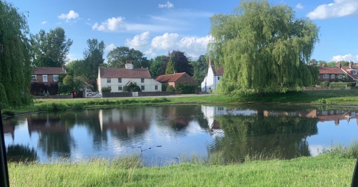
Summary: Situated just off the A59 between York and Harrogate, Nun Monkton is both quiet and quaint, a quintessential Yorkshire village.
It also boasts an excellent, if pricier, pub in the form of The Alice Hawthorn, which serves upmarket gastro-pub grub.
While there are many versions of this riverside walk available online, some circular, the easiest to follow is walking a linear route there and back, along the River Ouse.
Watch out for wet weather in the winter months - the route may be muddy, or even flooded if there's been heavy rainfall, so make sure you check ahead of time.
Ripon City Wetlands
Distance: Between 2 - 3 miles, 1+ hours.
Start: Ripon City Wetlands, Boroughbridge Road, Ripon, HG4 1UG.
Parking: Ripon City Wetlands car park.

Ripon City Wetlands
Summary: Something of a hidden gem, Ripon City Wetlands is tucked away on the outskirts of the city, next to Ripon racecourse.
The nature reserve belongs to Yorkshire Wildlife Trust, and is a haven for wildlife; birds, otters and much more. Once a former quarry, the site is on a natural floodplain and offers a gentle, flat route around the lagoons.
As a bonus, it's also wheelchair and pushchair accessible - those needing disabled access can request a Radar key to park closer to the wetlands, otherwise it's a short walk from the car park to the reserve.
Also check out...
The Boxing Day Pilgrimage is an annual and much-loved tradition, following the path taken by the thirteen monks who first founded Fountains Abbey in 1132.
Beginning with a Eucharist service at Ripon Cathedral, attendees will then make the four mile walk to the National Trust site.
0