Subscribe to trusted local news
In a time of both misinformation and too much information, quality journalism is more crucial than ever. By subscribing, you can help us get the story right.
- Subscription costs less than £1 a week with an annual plan.
Already a subscriber? Log in here.
08
Feb
Possible new housing sites in Pateley Bridge and Masham revealed

North Yorkshire Council has published a map of sites put forward for the county’s Local Plan. The blueprint will determine housing and employment land for the next 15 to 20 years.
The council has stressed that no assessment of sites have been completed at this stage and land submitted may not necessarily be taken forward as part of the Local Plan process.
You can read about the sites put forward for Masham and Pateley Bridge below.
Amid the council’s call for housing sites, both Masham and Pateley Bridge have their fair share of land suggested for development.
Both towns can often be overshadowed by neighbouring Ripon and Harrogate when it comes to major housing schemes.
But, according to the council’s map, Masham has had nine plots of land put forward for development.
Among them includes a four hectare site south of King’s Head Farm. Next to the site is another parcel of land on Thorpe Road which is also earmarked for a residential scheme.
Another four hectare site south of Foxholme Lane has also been submitted for housing.

A map of sites in Masham.
However, not all of the sites in Masham have been put forward for new homes.
A three hectare plot on the eastern side of Leyburn Road has been submitted for green and open space. The land would complement another site opposite which has been identified for housing.
Meanwhile, Pateley Bridge has much fewer sites on the council’s map.
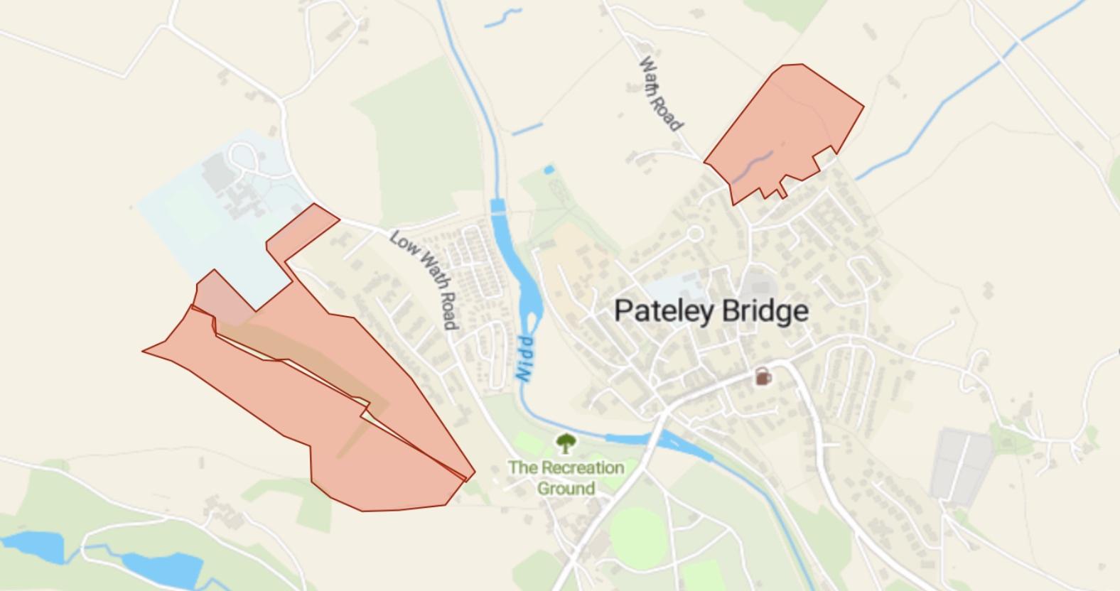
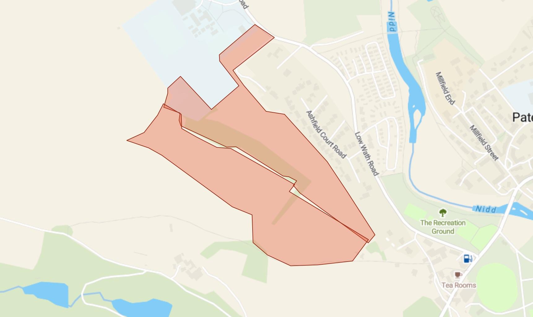
Two plots of land have been put forward on Low Wath Road — one at five hectares and the second at six hectarers — for mixed use.

Land at Low Wath Road in Pateley Bridge.
To the north of the town, a three hectare site between Wath Road and Quarry Lanehas been put forward for residential purposes.
The land included in the council’s map is for land submitted up until December 2024 following its call for sites. More land will be added on a six monthly basis.
The authority has stressed that the sites included in the map may not be taken into the Local Plan and that no assessment work has been completed at this stage.
It added:
The call for sites process is separate to the planning application process and the submission of a site for consideration does not necessarily mean that the site will be taken forward.
It is often the case that more sites will be submitted at this stage than are needed to meet the future needs of the area.
A public consultation on the sites will be held at a later date.
0