Subscribe to trusted local news
In a time of both misinformation and too much information, quality journalism is more crucial than ever. By subscribing, you can help us get the story right.
- Subscription costs less than £1 a week with an annual plan.
Already a subscriber? Log in here.
21
Oct 2024
New map gives insight into Ripon's history

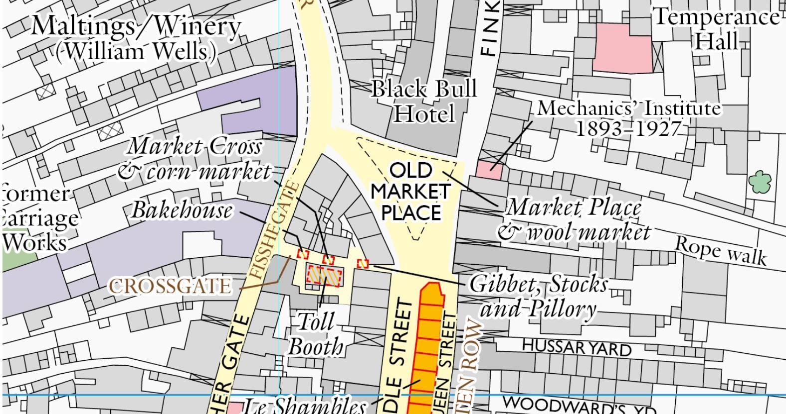
A new map featuring the history of Ripon from ancient times until the 20th century is to be published by the Historic Towns Trust this week.
The folded map, which has been compiled by experts in Ripon history, architecture, geology and topography, shows the position of the city’s important buildings – both those still surviving and others that have been lost – from the Middle Ages onwards.
The Historic Towns Trust is a charity which investigates the histories of towns. The introduction to its Ripon map places the city in its geological, economic and historical context, and on the reverse of the map is a comprehensive gazetteer, illustrated with images of Ripon.
It also contains specialist information on, for example, Ripon’s fairs and markets and on its civic governance – including its famous hornblower.
Ripon’s relationship with nearby Fountains Abbey from the 12th to the 16th centuries, and the important role played by the city’s huge World War 1 army camp are also covered in the text.
Ripon was well-known for making spurs in the 16th and 17th centuries – giving rise to the proverb ‘as true steel as Ripon rowels’ – and, a century before, ‘cappe-knytters’ were noted in Ripon in 1465, the earliest evidence of an English knitting trade.
In 1723 the first horserace for women jockeys was held at the course on Ripon Common.
Jo Ropner, the Lord-Lieutenant of North Yorkshire, said:
Anyone who knows Ripon – or wants to get to know it – will find the new map an invaluable tool for uncovering the city’s fascinating past, because of both the clarity of the mapping and of the authoritative information contained in the gazetteer. The map joins a growing list of historical maps of towns and cities around Britain, and Ripon is proud to have its place.

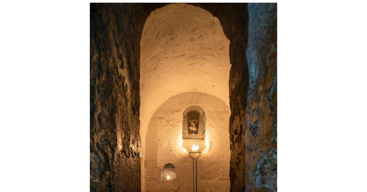
The historic significance of the 7th-century crypt – the oldest north of the Alps – from St Wilfrid’s church, which survives beneath the medieval Ripon Minster (now the cathedral), and the complicated relationship between the Archbishops of York and the Minster Canons are explained.
The gazetteer has entries on the city’s many mills and bridges, on its rivers and waterways, and on many of the 18th and 19th century buildings, domestic, commercial and industrial.
The map, which costs £11.99 and is on sale at outlets throughout the city, as well as online at www.historictownstrust.uk, is published in association with Ripon Together, with financial contributions from Ripon Civic Society and North Yorkshire Council, together with a number of individual donors.
0