Subscribe to trusted local news
If you are accessing this story via Facebook but you are a subscriber then you will be unable to access the story. Facebook wants you to stay and read in the app and your login details are not shared with Facebook. If you experience problems with accessing the news but have subscribed, please contact subscriptions@thestrayferret.co.uk. In a time of both misinformation and too much information, quality journalism is more crucial than ever. By subscribing, you can help us get the story right.
- Subscription costs less than £1 a week with an annual plan.
Already a subscriber? Log in here.
29
Jan 2021
Snow and ice warning for Harrogate district
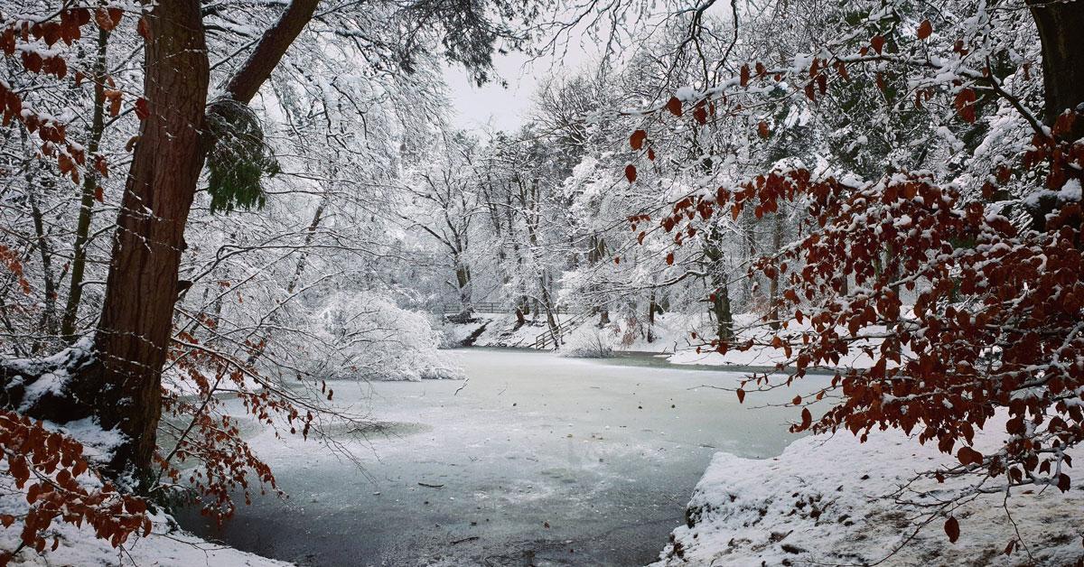
The Met Office has issued a yellow warning for snow and ice in the Harrogate district next week.
Weather forecasters predict the snow and ice will hit on Monday and continue until Wednesday.
There is also a yellow warning for ice in the north of the district, covering the likes of Ripon today and tomorrow.
The snow and ice warning is in place from 9pm on Monday until 11.45pm on Wednesday.
Read more:
- Photographers proud to put Harrogate in snow on show
- Ripon couple saved as tree falls in heavy snow
- Boroughbridge care home, garage and homeowners fight floods
Forecasters have said that snow, with a risk of widespread ice, is likely to push slowly northeast from late Monday.
If the snow and ice does hit on Monday evening then expect travel delays, rural communities being cut off and power cuts.
This latest weather warning for the district comes just over a week after flooding and two weeks after heavy snow.
A spokesperson for the Met Office said this morning:
0