


Outdoor bathers at places such as Knaresborough Lido will be able to get almost real time data this summer on sewage being pumped into rivers.
There has been widespread concern about the state of local rivers, especially the Nidd and Ure.
Yorkshire Water announced yesterday it had launched an interactive map that will provide current information on the operation of storm overflows.
Water companies use storm overflows to release extra rainwater and wastewater into rivers when the sewerage system is at risk of being overwhelmed.
This usually happens during heavy rainfall but there has been concern about the overflows operating at other times and pumping more sewage into waterways.
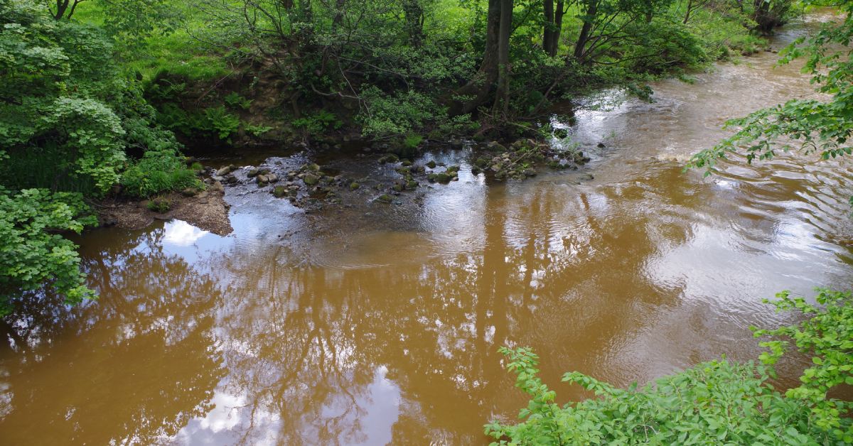
River Nidd
The interactive map has been launched ahead of the 2024 bathing water season, which runs from May 14 to September 30.
It shows the live status of each of Yorkshire Water’s storm overflows, when they last discharged into a watercourse and for how long. The information refreshes at 15-minute intervals,
Yorkshire has 2,180 storm overflows and Ben Roche, director of wastewater at Yorkshire Water, said the map would increase transparency for customers:
Mr Roche said:
“All the data will be available to anyone accessing the map. We have decided to launch now, ahead of the bathing water season to ensure customers are better informed about our operations in their area.
“We know replumbing the whole of Yorkshire is not a quick fix as it would be both significantly disruptive and costly to customers. The map shows just how big an engineering challenge this is from the vast numbers of overflows we have.”
He added Yorkshire Water was “investing £180m by the end of April 2025 to tackle 134 of the more frequently discharging overflows”.
The £180m investment is split into four areas, he added. They are: increasing storage at Yorkshire Water’s wastewater treatment works and within the sewage network; separating surface water from the combined sewer system; reducing groundwater infiltration into sewers; and changes to the operation of treatment works.
You can view the storm overflow map here.
Read more:
- Sewage in Nidd and Ure: local politicians react to increase
- Rivers Nidd and Ure named among UK’s most polluted rivers
- Environment secretary ‘impressed’ by River Nidd bathing water bid